Thailand by motorcycle · free, no ads
Loops worth the ride, with the boring bits already cut out.
Curated motorcycle loops built from roads we have ridden: surface, difficulty and curviness for every segment, places worth a detour, and the expressways motorcycles are not allowed on kept out of the plan. Take the GPX to your navigator, or let the companion app ride along.
- Browse without an account
- Legal-for-motorcycle routing by default
- GPX for OsmAnd, Kurviger, Garmin
 Every segment ridden and graded
 Routing that follows Thai motorcycle law
 Researched with AI, reviewed by the author
 Free — no ads, no paid tier
Why a loop, not a route
The usual plan gets you turned around at a toll gate. Ours starts from the roads worth riding.
The usual plan
- The car navigator sends you onto the expressway — which is closed to motorcycles in Thailand.
- "Scenic" turns out to be three hours of straight four-lane highway.
- No idea whether the shortcut is asphalt, gravel or a muddy trail until you are on it.
- Evenings spent stitching forum posts and GPX files from riders who were here years ago.
A Thai Loops plan
- Expressways and tollways are out of the plan by default. One toggle opens the disputed motorways for ≥ 400 cc.
- Curviness is a number (length ÷ straight line), so "twisty" means twisty.
- Every segment carries a surface class and a difficulty. Filter "no off-road" or "trail only".
- Places carry their Thai name, so a local can point you the right way when the signal is gone.
Legal by default
The only router that knows where a motorcycle may not go in Thailand.
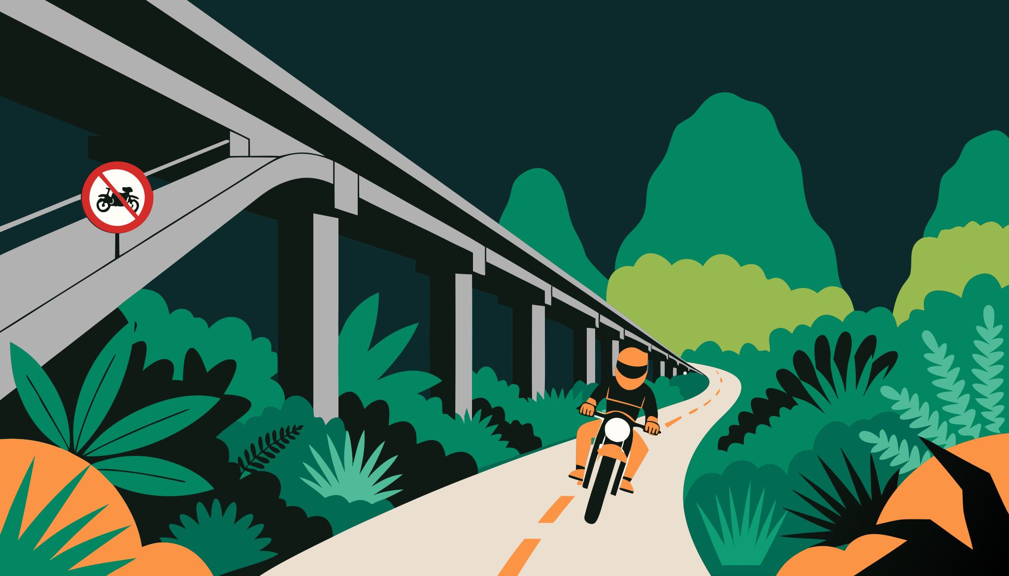
Expressways and tollways are closed to motorcycles. Our routing bans them by default, checks every published loop against the legal areas, and tells you when a leg runs under an expressway on the surface road — so you can double-check before you ride. Big bikes flip one switch for the motorways where ≥ 400 cc is allowed.
- 10 expressways + Don Mueang Tollway: closed to every motorcycle
- M6 · M7 · M8 · M9 · M81 · M82: ≥ 400 cc only
Try the switch. The plan re-routes; the badge on every loop shows the minimum engine size it needs.
Phuket, Krabi, Khao Sok and Khao Lak in 10 days — segments
- 1. Sarasin Bridge - Phang Nga (Route 4)49.4 km · ↗ 217 m · relaxedasphalt
- 2. Phang Nga - Thap Put: the Road of 100 Bends (Route 4)28.0 km · ↗ 443 m · relaxedasphalt
- 3. Thap Put - Ao Luek (Route 4)21.2 km · ↗ 77 m · relaxedasphalt
- 4. Ao Luek - Ao Nang via Tha Pom54.8 km · ↗ 207 m · relaxedasphalt

Segments you can trust
Know the surface before the front wheel does.
A loop is a chain of road segments we have ridden and graded: asphalt, gravel or trail, a difficulty, the climbing, the curviness. Segments are shared between loops, so a fix on one road fixes every loop that uses it. Riding a touring bike on road tyres? Filter "no off-road" and the trail legs disappear.
Browse the loops
Places along the way
Stops worth the detour, with their Thai name on the card.
Viewpoints, noodle stops, waterfalls, fuel. Each place is pinned to the loop with how far in it is, written up from open data and the web — a draft researched with AI, then read and corrected by the author, with the sources listed under it. Google Maps stays one tap away in two-wheeler mode; we keep none of its data.
All places

The companion app · in the works
A riding partner, not a voice in your helmet.
The app keeps the loop's map offline, shows you on the line, tells you what is coming up and nudges you when you have left the plan. It will not do turn-by-turn — when you want a voice, hand the loop to Kurviger, OsmAnd, Organic Maps or Google Maps in one tap. It comes first as a web app you can install, then in the stores.
- Offline map of the loop
- GPS dot on the line
- Places ahead, in riding order
- Off-route alert, no nagging
Where we start
Phuket and the South first — the one region no route library covers.
We ride out of Phuket every week. The first loops cover Phang Nga bay, the karst coast of Krabi, Khao Sok and the quiet border roads of Ranong. The rest of Thailand follows, one ridden segment at a time.
All loops
Phuket, Krabi, Khao Sok and Khao Lak in 10 days
A ten-day loop from Phuket: Phang Nga Bay at dawn, the Krabi coast, Cheow Lan Lake and the Khao Sok jungle, then the Khao Lak beaches and back along the Natai coast. All paved.
- Distance
- 508 km
- Ascent
- ↗ 3044 m
- Curviness
- curvy 1.12
Southern loop away from the crowds
- Distance
- 1468 km
- Ascent
- ↗ 6512 m
- Curviness
- curvy 1.13
-
 1
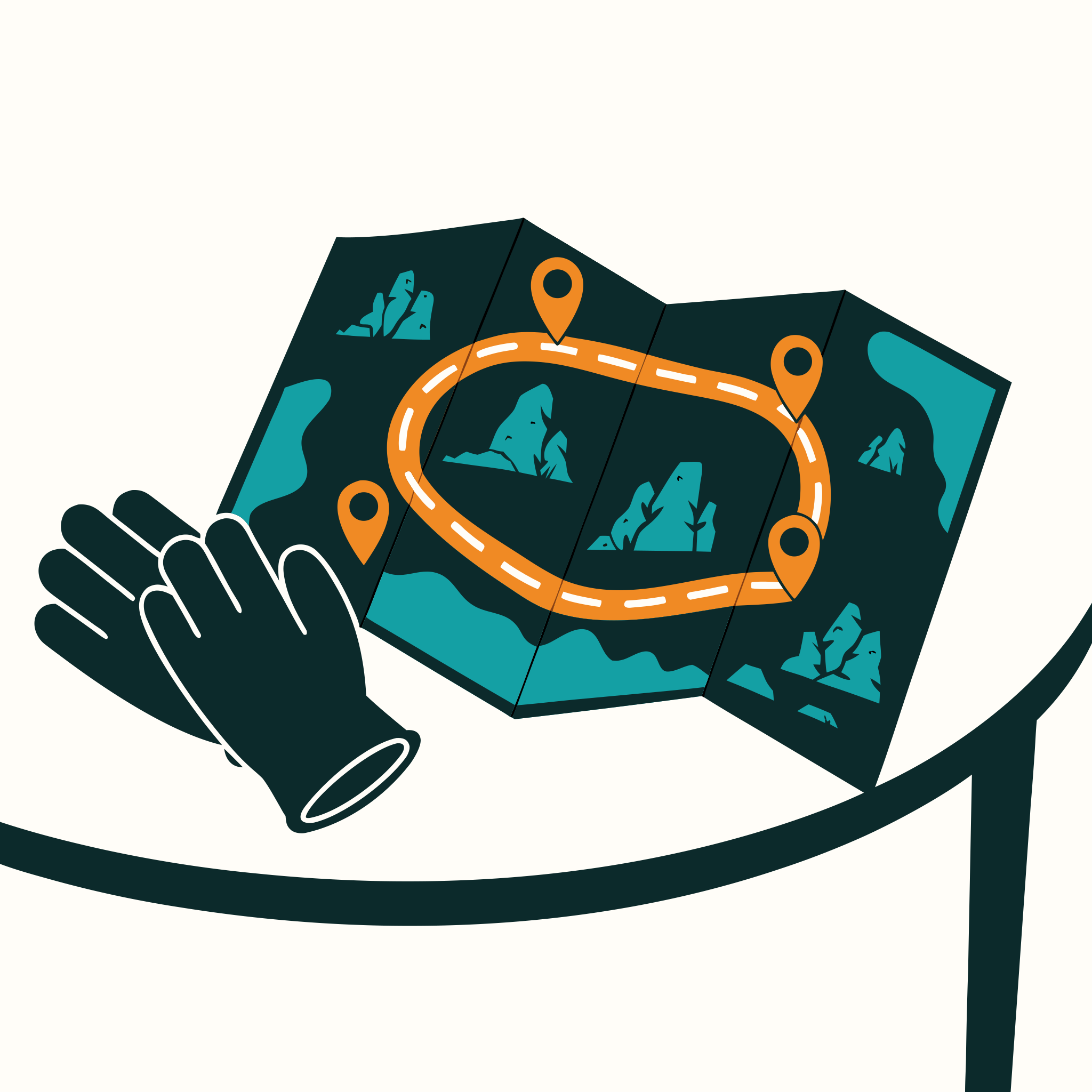
1Pick a loop
Filter by region, days, surface and difficulty. Each loop shows its segments, climbs and the places along the way — no account needed.
-
 2
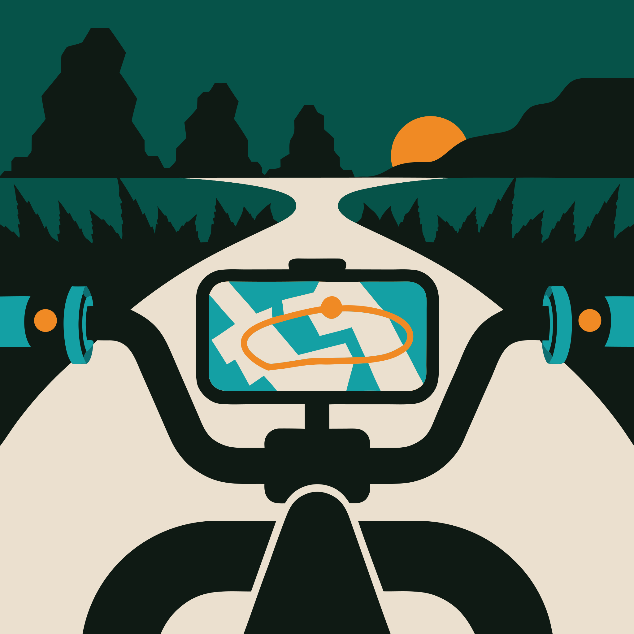
2Take it with you
Download the GPX for OsmAnd, Kurviger, Garmin or your bike's app, or open the stops in Google Maps in two-wheeler mode.
-
 3
3Ride legal
Expressways and tollways are closed to motorcycles in Thailand. The plan keeps them out by default, so what you ride matches the law.
Written by riders who live here, checked on the road.
Who
A small crew in Phuket
Thai Loops is run by Turtla Co. Ltd. Routes and places are written by the owner and staff only — nobody else can publish, so what you read has been ridden by someone you could meet at the counter.
Rental partner
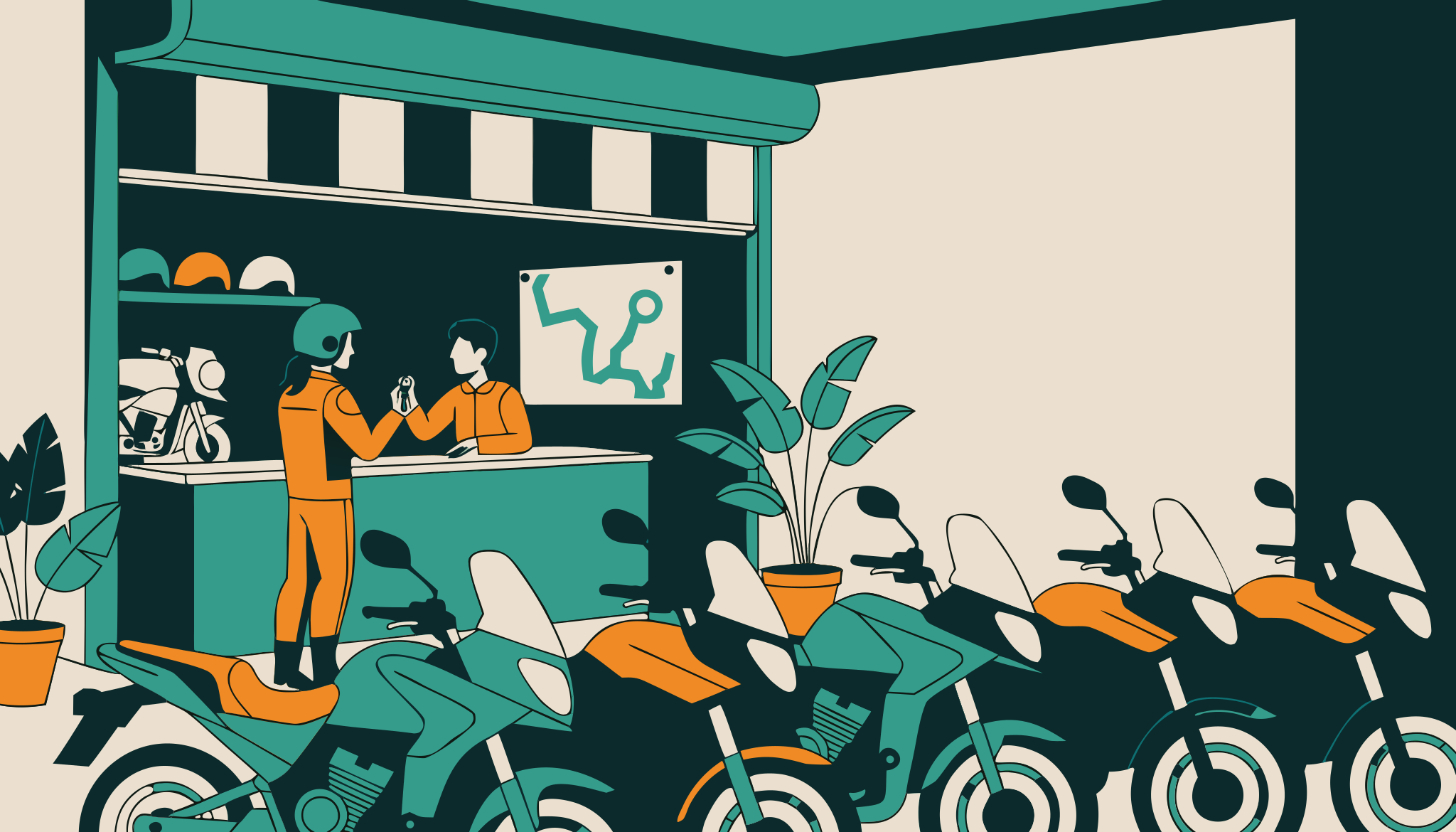
Bikes for these loops: Phuket Garage
Adventure, touring and enduro motorcycles in Phuket, with a swap guarantee across Thailand. The same crew — that is the whole business model, and why the portal stays free.
phuket-garage.comData
Open data, credited
Roads from OpenStreetMap, places from OSM, Overture, Foursquare and Wikidata, photos ours or Creative Commons with credit. Google Maps is only ever a link.
Data sources & creditsTake the loops with you.
The companion app is in the works: offline maps, the places ahead and the off-route nudge — free, no ads. Until it lands, every loop is here in the browser, GPX included. Make a free account and tick the box to hear when the app is out.
Store badges are placeholders until the apps are published under Turtla Co. Ltd.

Before you ride
Questions riders ask at pick-up.
Is it really free?
Yes. No ads, no paid tier, no booking commissions. Thai Loops is run by the crew behind Phuket Garage and feeds it as a rental partner — that is the whole business model. Browsing needs no account; downloading a GPX file needs a free one (e-mail and password).
Will the app navigate turn by turn?
No — on purpose. It is a companion: offline map, your position on the line, the places ahead, an alert when you leave the plan. For a voice in your helmet, hand the loop to Kurviger, OsmAnd, Organic Maps or Google Maps, or load the GPX on your Garmin or TomTom.
Why does the plan avoid the expressway?
Because motorcycles are not allowed on Thailand's expressways and tollways, and most car navigators do not know that. Some intercity motorways admit bikes of 400 cc and above; switch on "≥ 400 cc" and those open up, with the minimum engine size shown on every loop that uses them.
Where do the places and photos come from?
Open data — OpenStreetMap, Overture, Foursquare and Wikidata — plus our own rides. Descriptions start as an AI-researched draft with sources and are read and corrected by the author before they go live. Photos are ours, our riders' (with consent) or Creative Commons with credit. Google Maps is only ever a link.